
Create a mask suitable for texturing that indicates the relative wetness of the ground at any given location. It does this by evaluating the local slope as well as the accumulated amount of water running through the terrain at that point.
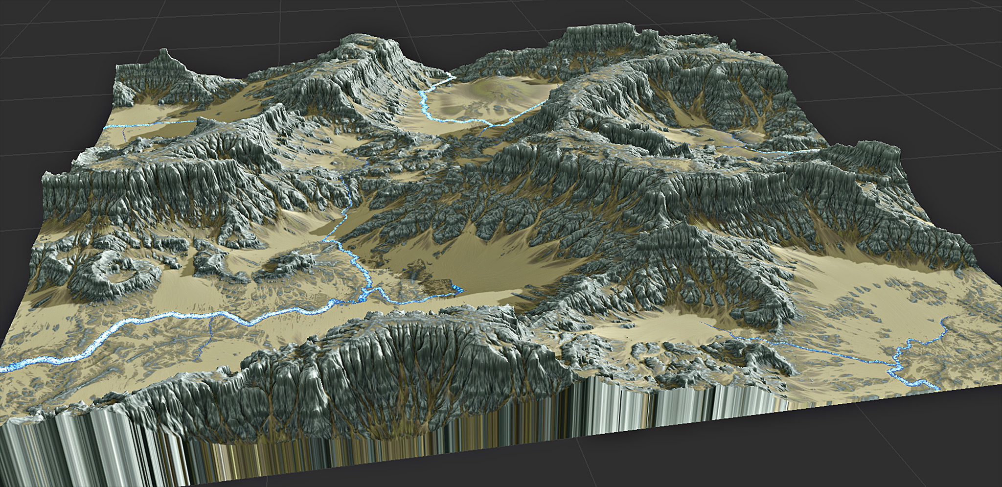
The wetness map produced has an uncanny ability to reflect local details and emphasize the shape and structure of the underlying terrain, and is suitable for direct use in texture creation. In the image above, you can see how smooth soil-filled basins are immediately distinguished from rough, rocky areas.
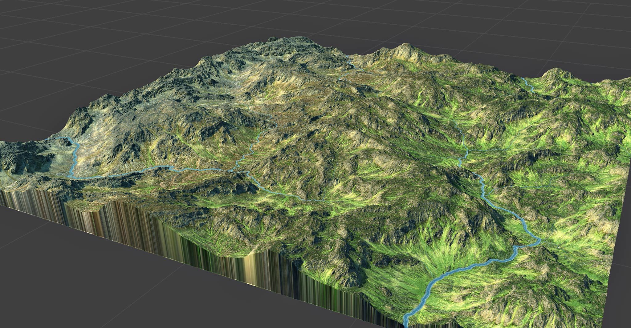
In addition, you can provide a precipitation map that influences the aridity of the terrain. Rivers will bring moisture even to arid regions thanks to the flow integration that occurs. The below image has its wetness controlled by a simple linear gradient:
How to Use
- Add the Wetness Selector to the world.
- Connect the terrain to be analyzed to the primary input.
- That’s it!
The primary output now contains a wetness map.
The output can directly power a Colorizer in order to create a texture, or you can use it in more sophisticated ways. Read on for more details on the inputs and parameters…
Inputs
Primary Input
Connect your terrain to this input
Precipitation Map (Optional)
Supply a mask indicating the amount of rainfall at a map location.
Water Input (Optional)
If your terrain also has a water system, you can input it here. Doing so will do several things:
- The water system may supply moisture to nearby areas
- Terrain areas that are underwater will be marked as fully wet 😉
Parameters
- Wetness – adjust the amount of precipitation incident upon the map. Higher values will saturate the valley floors and hillslopes with moisture.
Tips and Tricks
- The Wetness Selector is a beautiful and fast way to produce a ground texture; connect the output to a Colorizer to create an excellent and novel texture. Several useful Colorizer presets are included that work well out of the box with the Wetness Selector.
- By supplying a custom precipitation map, you can simulate more global climatic situations; for example, creating a rain shadow on the leeward side of mountains, or distinguishing between arid and wet areas of your world. The Wetness Selector will downslope-integrate precipitation to create a true wetness map.
- The new Quick Texture macro uses the Select Wetness device internally; try using this macro to immediately add texturing to your world.
Limitations and Known Issues
- In order to create an accurate wetness map, the entire drainage basin involved must in the current render extents. Tiled builds interfere with this process and will result in incorrect drainage patterns.