
The Thermal Erosion device complements regular Erosion by simulates the fracturing of rock due to thermal stresses that break rock and create talus slopes. The distinctive look of talus slopes is a major part of many mountainous regions, and is particularly dominant in both dry (arid) and geologically young mountains.
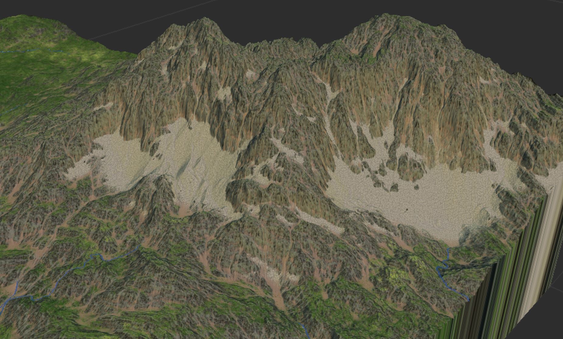
Boulders and chunks of rock that fracture from the cliff face accumulate to a constant angle of repose, where any additional material slides down the talus slope to the base of the hill.
Device Parameters
- Talus Production
The propensity of the rock face to break down and produce a talus slope. This can be modulated by the talus production input to vary talus propensity across the map. - Talus Repose Angle
The angle at which material comes to rest. In real life, this angle is typically around a 30-40 degree slope. Lower values look more like sand or soil. - Fracture Size
An optional parameter that controls the structure of the rock fractures; the bedrock will tend to fracture in chunks around this size. The effect is relatively subtle. - Talus Size
Size of the talus boulders. This optional parameter embeds a rough, talus-like pattern into the heightfield wherever talus exists. Setting this to 0m disables the effect. - Simulation Length
Controls the duration of simulation. Larger values take proportionally longer amounts of time to build, but will allow talus to fall farther and occupy more of the map. - Intensity
Multiplier for the amount of rock fracture occurring. Typically leave this value alone.
Inputs and Outputs
Inputs
- Talus Production Mask
Modulates the talus production value so that cliffs in different parts of the map will produce more or less talus. - Talus Removal Mask
Provide a heightfield or water map that designates areas that clear away talus, as well as that will maintain their original geometry. When provided a water map, this is useful for applying talus after river networks have been created; a heightfield can be provided for such effects as clearing talus from roads or building areas.
Outputs
- Talus Mask
A mask showing which areas of the map contain talus and which do not - Talus Depth
The depth of the talus at any point. Subtracting this from the primary output provides the actual post-erosion bedrock surface.